You are hereForums / The Knapsack Project / Proposed Knapsack Trail Plan Map
Proposed Knapsack Trail Plan Map

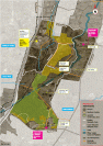
This was the map that was handed out at the community BBQ BMORC held a month or so ago.
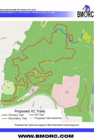
What this map makes clearer, as opposed to the maps in the BMORC report or the maps handed out by the BMCC, is just what is existing, and what is proposed trail. There has been quite a bit of confusion about this when talking to people.
So simply, if it is a Red, Brown or Blue line it is existing fire trail or single track.
The Yellow are the proposed new sections.

Tags